The State of the Map Latam is the annual conference for all OpenStreetMap creators and users in Latin America. This year, the State of the Map Latam 2025 conference will take place in Medellín, Colombia.
The purpose of this event is to serve as a platform for showcasing projects, experiences, and proposals in the field of open mapping with OSM, as well as fostering dialogue and discussion about the progress, opportunities, and challenges for the OSM community in Latin America.
In this post, you can review our general overview of the event and what we expect in terms of presentations.
The presentation spaces we invite the mapping community to participate in are:
- Talks (30 minutes): These are 20-minute presentations, followed by 10 minutes of Q&A. The Academic and Program committees may group talks on related topics into thematic tracks to accommodate more participants. The suggested tracks are only guidelines for organizing submissions and structuring the event program. If a proposal doesn’t fit into one of the suggested tracks, don’t worry—the review committee will still schedule it if approved. The suggested tracks are:
- Track 1 – Risk management.
- Track 2 – Informal settlements (Favelas) mapping.
- Track 3 – Governance and community.
- Track 4 – Amazonia, forest, and environment.
- Track 5 – OSM tech.
- Track 6 – OSM data use cases.
The tracks are simply guidelines for grouping submissions and organizing the event program. New tracks may emerge if multiple proposals cover the same topic (for example, Road Mapping).
If you’re unsure which track your presentation proposal fits into, don’t worry – submit it anyway! The committees will handle the scheduling if your proposal is approved.
- Workshops (1 – 4 hours): These are focused learning sessions. It can cover advanced topics or can be sessions for beginners or little to no experience mappers. It’s important to specify any special requirements (space considerations, technical needs…) and the duration of the workshop. While not mandatory, we encourage these sessions to focus on (but not be limited to):
- OpenStreetMap fundamentals.
- Humanitarian mapping.
- OSM apps and platforms.
- OSM data use.
Just like with the talks, if your workshop proposal doesn’t quite fit the suggested topics, submit it anyway! The committees will handle the scheduling.
Submission Guidelines
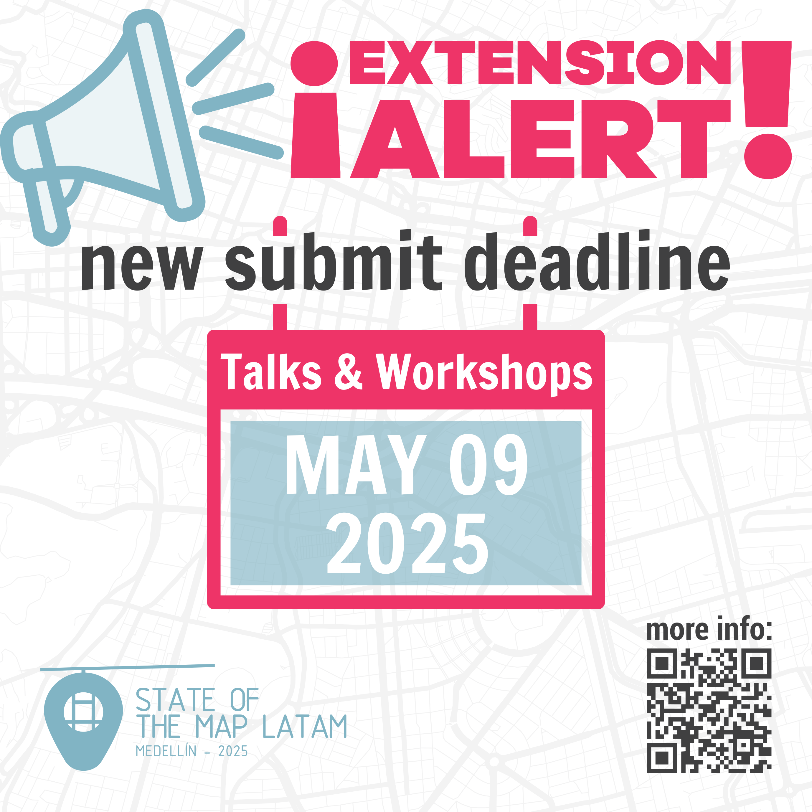
The authors can submit their proposals (in English, Spanish, or Portuguese) using the State of the Map Latam 2025 Pretalx system. The deadline for submissions is May 9, 2025, for talks and workshops.
The submissions must be between 200 and 800 words long. This requirement will be strictly enforced to ensure a fair and balanced review.
Proposal Evaluation Criteria
The following criteria will be applied during the evaluation of proposals:
- Direct relation with OSM. Proposals with an OSM focus will be given priority over those that address geospatial information systems in general or prioritize other aspects of the work.
- Proposals about open data, open software, or open code will be given priority over those about or with closed data or software.
- Emphasis will be placed on OSM usage experiences that demonstrate the greatest impact or transformative results.
Schedule and Deadlines
March 17, 2025: Call for talks and workshops proposals announced.
May 09, 2025: New deadline for talks and workshops submissions.April 30, 2025: Deadline for talks and workshops submissions.
June 01, 2025: Notification of accepted talks and workshops.
August 15, 2025: Final conference program published.
September 4–6, 2025: State of the Map Latam 2025.
You can submit proposals until 05/09/2025 23:59 América/Colombia.
Submit your proposal with this link.
Key Concepts

Tracks
The primary sections in which the event will be distributed.
- Track 1 – Risk management. Preventive risk mapping is a type of mapping that needs more work in the region. We are looking for presentations on these experiences in the region, which can focus on the technical aspects of mapping or on how to engage authorities in the mapping process and encourage them to use the data added to the map.
- Track 2 – Informal settlements (Favelas) mapping. Favelas, slums, or informal settlements have special characteristics when mapping them. We are looking for presentations on mapping cases from the region, which can focus on the technical aspects of mapping or the social complexities that make mapping difficult. We also welcome talks on how to fund this type of mapping
- Track 3 – Governance and community. Proposals are expected on community governance mechanisms and how to improve them. Presentations are also welcome on experiences from working in mapping communities, as well as reflections on local, national, or regional communities and their interrelation with the global community.
- Track 4 – Amazonia, forest, and environment. We are looking for talks about mapping cases in the various types of forests and jungles of the region, or related to the environment, which can focus on either the technical aspects of mapping or the work with local communities to achieve the mapping. We also accept talks on how to fund this type of mapping.
- Track 5 – OSM tech. Talks are expected on OSM apps, whether for data collection, editing, tile servers, geocoding, routing, navigation, etc. Discussions about tag usage or the tagging model itself are also welcome, as are presentations on the use of AI in OSM.
- Track 6 – OSM data use cases. What we produce is data, but how is it used? Beyond discussions on analyzing the quality of OSM data and reflections on improving the data model, we seek experiences in using OSM data through its API. Generally, use cases and analyses of OSM data fit within this framework.
Talks can also cover diverse OSM-related topics not included in these tracks, including artistic and creative projects that use OSM data or themes to create clothing, jewelry, 3D-printed objects, engravings, computer or mobile games, virtual worlds, augmented reality, flyers, postcards, and more.

Workshops
OpenStreetMap fundamentals
A space to share knowledge between people with more experience in OSM and those who are new. Topics can range from basic mapping aspects, cartography, topography, data collection, tagging, data visualization, automated mapping, organized editing, and imports.
Humanitarian mapping
Given the importance of humanitarian mapping in identifying priority needs and building community resilience, we expect workshops that raise awareness about this and teach the essential basics for organizing humanitarian mapping campaigns on various existing topics, as well as consider the key characteristics that should be taken into account.
OSM apps and platforms
Ideal for teaching others about the various apps that contribute to and make use of OSM data: data collection, OSM editors, (vector) tile servers, geocoding, routing, navigation, editor layer indexes; tips and tricks with new PostGIS features or new features in other tools and applications. Presentations on the use of AI with OSM data are also welcome.
OSM data use
How can OSM data be used? From how to use OSM APIs, generating statistics, to data analysis with Python or R. In your proposal submission, please indicate the level of prior knowledge required for workshop participants.
Other Links
If you’re interested in giving an academic presentation, please visit this page: Call for Academic Presentations SotM Latam 2025
Deja una respuesta